Thursday, August 31, 2006

Day Three Highlights


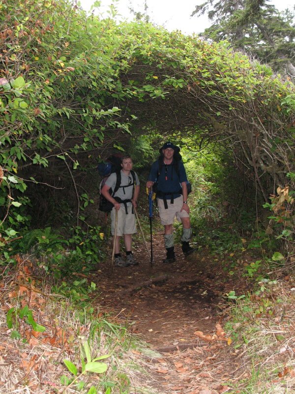
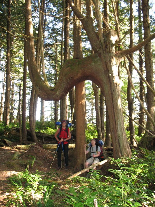
Weird tunnel through the trees we encountered while in the forest.


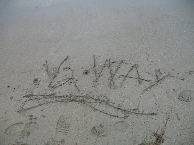
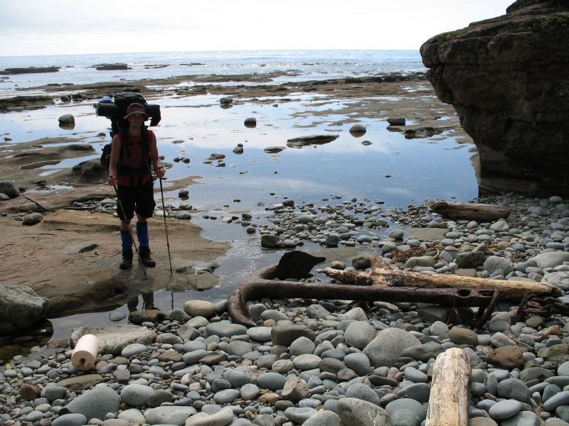
Funny story.... We'd reached the halfway point in terms of kilometres on Day Three (37.5 out of 75) and so Daron marked it in the sand and I snapped a shot. We continued on our way, and half a kilometre later we were unable to get around a point while beach hiking because the tide was coming in. We were forced to turn back, walking past the halfway point again, and eventually detouring through the forest.


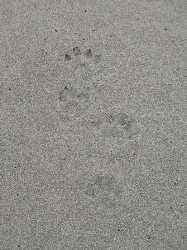
We also saw cougar prints, but these are from a wolf... Pretty fresh prints, as they must have been made after the tide went out this day.


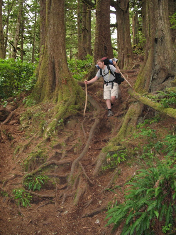
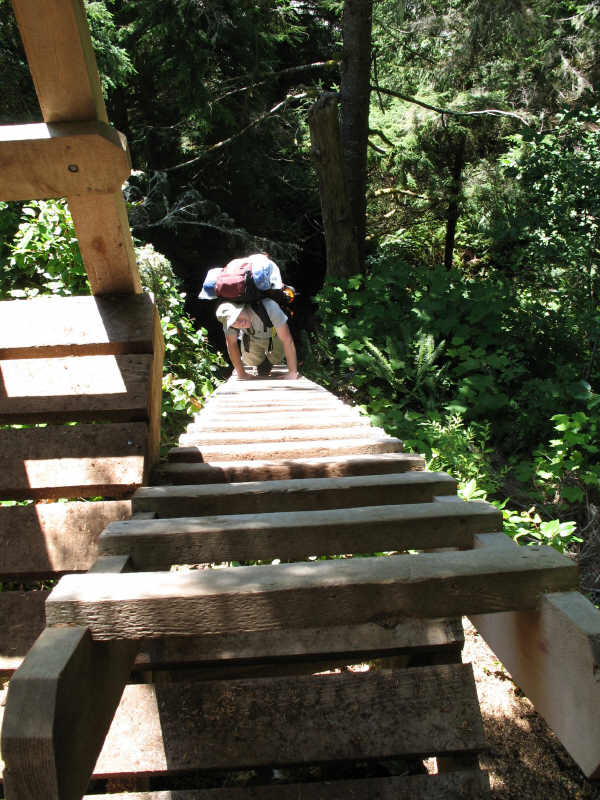
Roots are a big obstacle on the WCT, and learning to negotiate over and around them is a necessity... Poles are a great help!


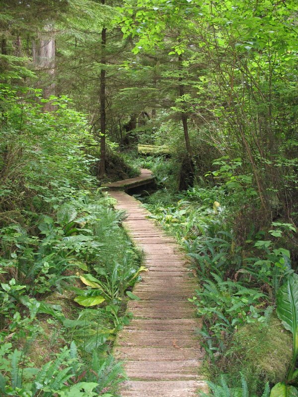
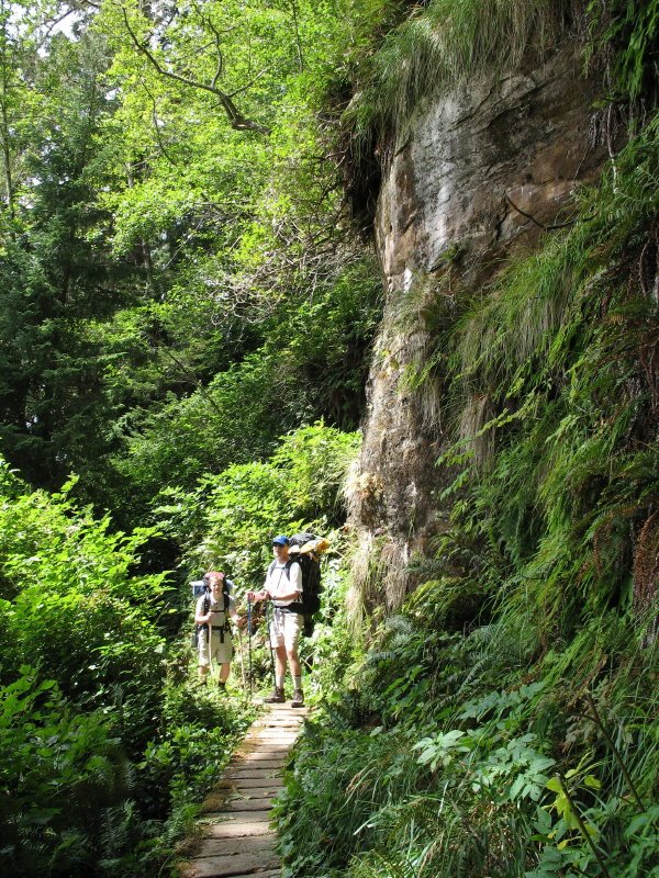
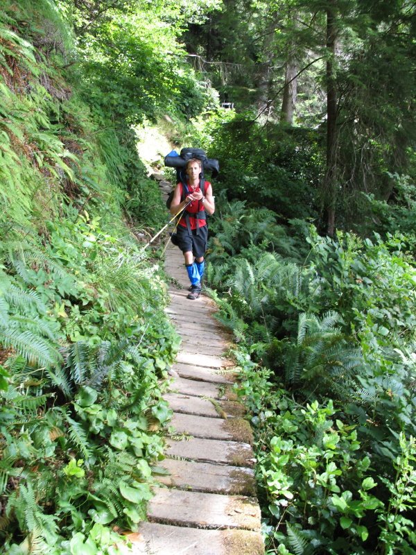
Just a cool shot of a boardwalk through the thick vegetation.


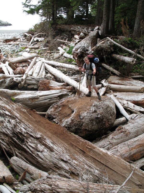
There are a variety of ways to cross creeks... suspension bridges, fallen tree trunks, cable cars.... or in this case, manoevering over giant pieces of driftwood.


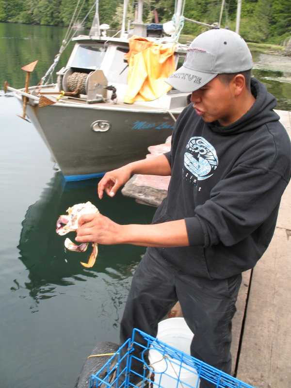
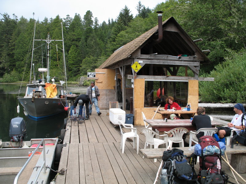
Although Day Three was our longest day with 17 km to cover, we did get a treat halfway through. At Nitinat Narrows, the Native Canadians who run the ferry across the lake will also serve up plates of fresh crab or salmon.


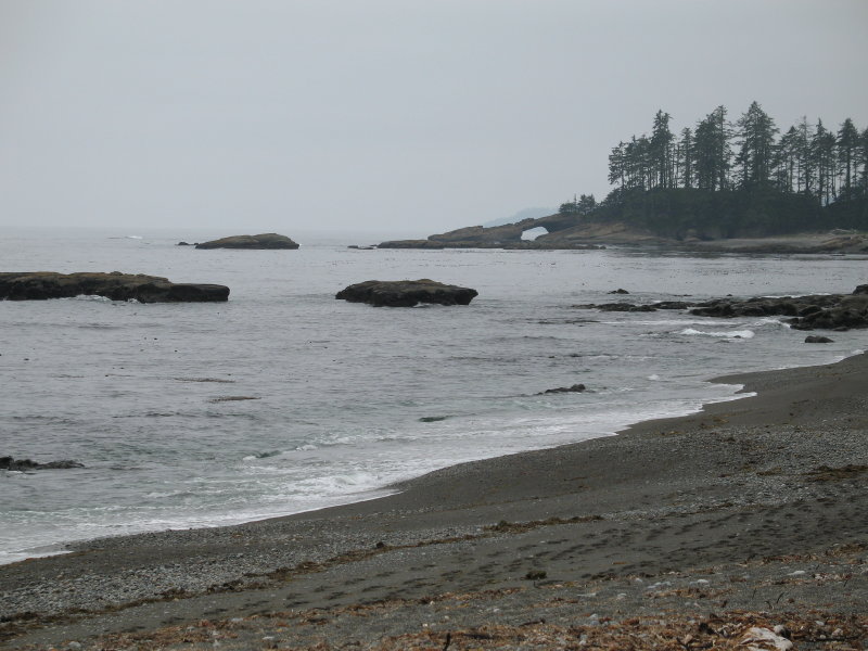
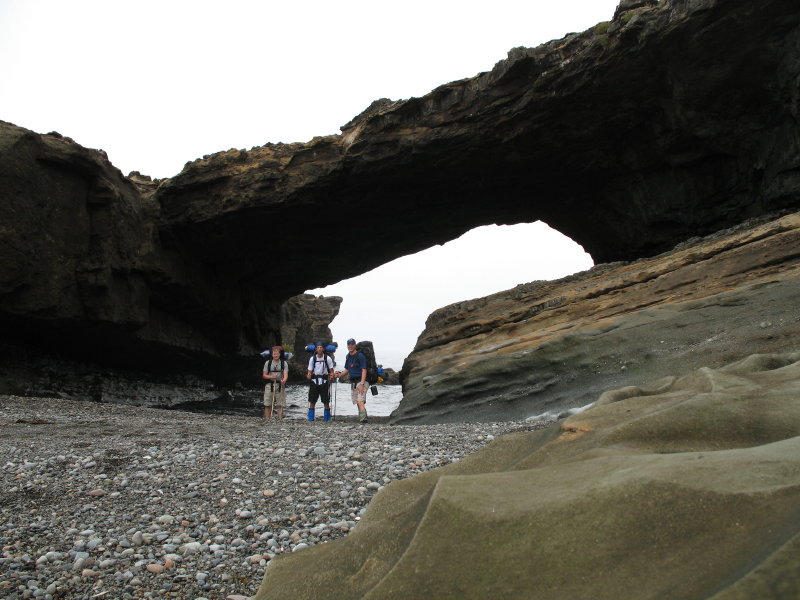
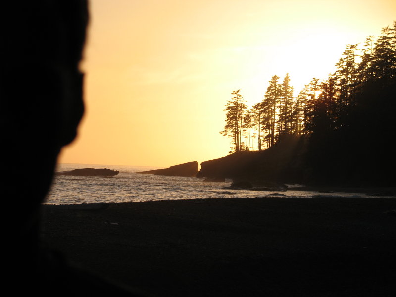
Part of beach walking is planning for tides. We were able to make it through the Hole in the Wall at low tide on Day Three. The photo above shows the point from further down the beach.

Wednesday, August 30, 2006

Video Summaries

Click on the links to view a video summary of Day One and Day Two on the trail. Also, check out the fun of learning to put on 50+ pound packs.

Day One & Two Highlights


Sunset at Tsusiat... (photo by Bryan)


Swimming at Tsusiat Falls.... a treat at the end of a day's hike.


A side view of ladders.... these not so steep as some...


This stretch of the Pacific was once knows as The Graveyard of the Pacific. Evidence of shipwrecks were strewn all over the beach, such as this massive anchor.


The beginning of boardwalks through the forest.... Always an adventure, as some planks were sure to be rotten or missing altogether.


The last wooden lighthouse on the west coast of Canada.


Crazy Tree photo op...


Introduction to Ladders


They say the south end of the trail is the most difficult part and contains the most ladders. However, they recently added some to the north end due to a land slide that needed to be bypassed, so we had our first taste of ladders within the first ten minutes of our seven-day hike. Here, Bryan and Daron descend ladders for the first time. As it turned out, the second-longest ladder on the whole hike was in this stretch.

West Coast Trail 2006 -- Day One


I began my West Coast Trail adventure on Aug. 14, 2006, with my friends Daron and Bryan. Although we had originally wanted to start at the south end of the trail, it was already fully booked by the time I got through back in June. As it turned out, it was probably a huge blessing that we started at the north end... the south end would've kicked our butts. So here we are at the beginning of the trail near Bamfield on the west coast of Vancouver Island. Our packs were the heaviest they would ever be (I'm guessing mine was 50-55 pounds at the start).